
Yap
Overview
The Federated States of Micronesia (FSM) is comprised of 4 states (Yap, Chuuk, Pohnpei, and Kosrae) and includes 607 islands spread over 1 million mi2 of the western Pacific Ocean. Its coral reefs, estimated at 14,517 km2 are home to nearly 1000 species of fish and over 350 hard species of coral. The majority of people living on these small islands depend on natural resources for their food, livelihoods, and traditions. These resources are threatened by pressure from rapid population growth, overharvest, habitat destruction, changing cultural practices, invasive species and climate change.
FSM has committed to achieving the goals of the Micronesia Challenge (MC), an ambitious initiative by the jurisdictions of Micronesia to effectively conserve at least 30% of their near shore marine resources and 20% of their terrestrial resources by 2020. To begin to address this challenge a team comprised of representatives from the FSM government, the Micronesia Conservation Trust, and TNC, has been working with State government and local conservation NGOs to raise awareness and build support for protected areas.
The four islands that make up Yap State are connected by mangroves, and this island group is surrounded by a single, continuous reef system. Yap also contains a number of low atolls and islets which extend into the western Pacific Ocean. Coastal lagoons located along the reef flat contain coral communities which are the home to large congregations of fish. Increasing threats from improved fishing technology, growing infrastructure, and economic development have threatened the abilities of traditional systems of resource management to sustain a healthy marine ecosystem. However, the very localized control of natural resources within individual villages makes spatial management across the ecosystem a complex challenge.
As of 2016, 12% of Yap’s near shore marine areas fell within the existing Protected Area Network (PAN). In order for this jurisdiction to meet the goals of the Micronesia Challenge, additional protected areas need to be designated. Additionally, the relatively small size of existing MPAs means that many species would have adequate protections. In order to assist Yap in addressing these issues, outreach and analyses were conducted to guide the design and siting of new MPAs that would not only meet conservation targets, but would also meet socioeconomic objectives such as food security, health, cultural preservation, and sustainable incomes. This built upon previous work to identify areas of biological significance in FSM (2002), a Rapid Ecological Assessment to assess existing MPAs and identify potential new sites (2005), and a gap analysis using information gathered in workshops (2009).
In November 2016, a workshop was convened to discuss the refinement of Yap’s PAN. Outcomes of the workshop included:
- Consensus on the geographic scope of the plan
- Agreement on objectives, key challenges, and conservation targets
- Plans for implementation and management strategies
Participants also agreed that membership of the Yap State PAN requires that a protected area has a community-endorsed management plan in place.
Following this workshop, a gap analysis was conducted to determine how well the existing PAN met the goals decided on during the workshop. The process involved consultation with relevant stakeholders (multi-government agencies, local NGOs and community representatives), as well as mapping and spatial data analysis.
That gap analysis revealed that although Yap’s protected area coverage falls short of the goals of the Micronesia Challenge, the existing protected areas have greater management efficacy than in some other FSM locations. However, it did find that not all habitat types are equally represented by within the PAN. For example, a higher percentage of atoll reefs are protected when compared to the reefs surrounding Yap proper and lagoon reefs. Only 12% of seagrasses are protected. Furthermore, the existing PAN doesn’t provide adequate protection to sustain many of its target features, and don’t account for the unique habitat requirements of some species (e.g., home range size, nursery grounds, migration corridors). This was especially true for many fish species that are both ecologically and economically important to the region.
The team then conducted a spatial prioritization exercise to identify and evaluate PAN design scenarios that would better meet conservation goals. This analysis incorporated the results of a seascape connectivity analysis, which considers the role of combinations of different habitat types in protecting species during varying life history stages, rather than focusing on a single habitat. The report recommends that communities consider using the results of the analyses to determine whether the current design benefits species and habitats of interest, as well as using the data to interpret monitoring efforts in the context of MPA efficacy. The Yap Locally Managed Area Network plans to work with two villages with proposed MPAs to improve the design of this sites based on the recommendations of these reports pior to these MPAs being formally declared and demarcated. The report also provides recommendations for improving the design of Yap’s PAN overall.
TNC Role
- Facilitation
- Stakeholder engagement
- Marxan
- Science/technical expertise
- Financing
TNC co-hosted the November 2016 workshop with the Yap Community Action Program (Yap CAP). TNC also led the gap analysis and spatial prioritization analysis, which utilized Marxan to analyze conservation scenarios.
Project Partners
Lead Institution: YapCAP
Project Partners: James Cook University- Queensland, Au, Yap CAP
Status
PAN Design Complete
Fact Sheets and Links
Contact
Elizabeth Terk
Director of Conservation, Science, and Planning
Micronesia Program
Email: eterk@tnc.org
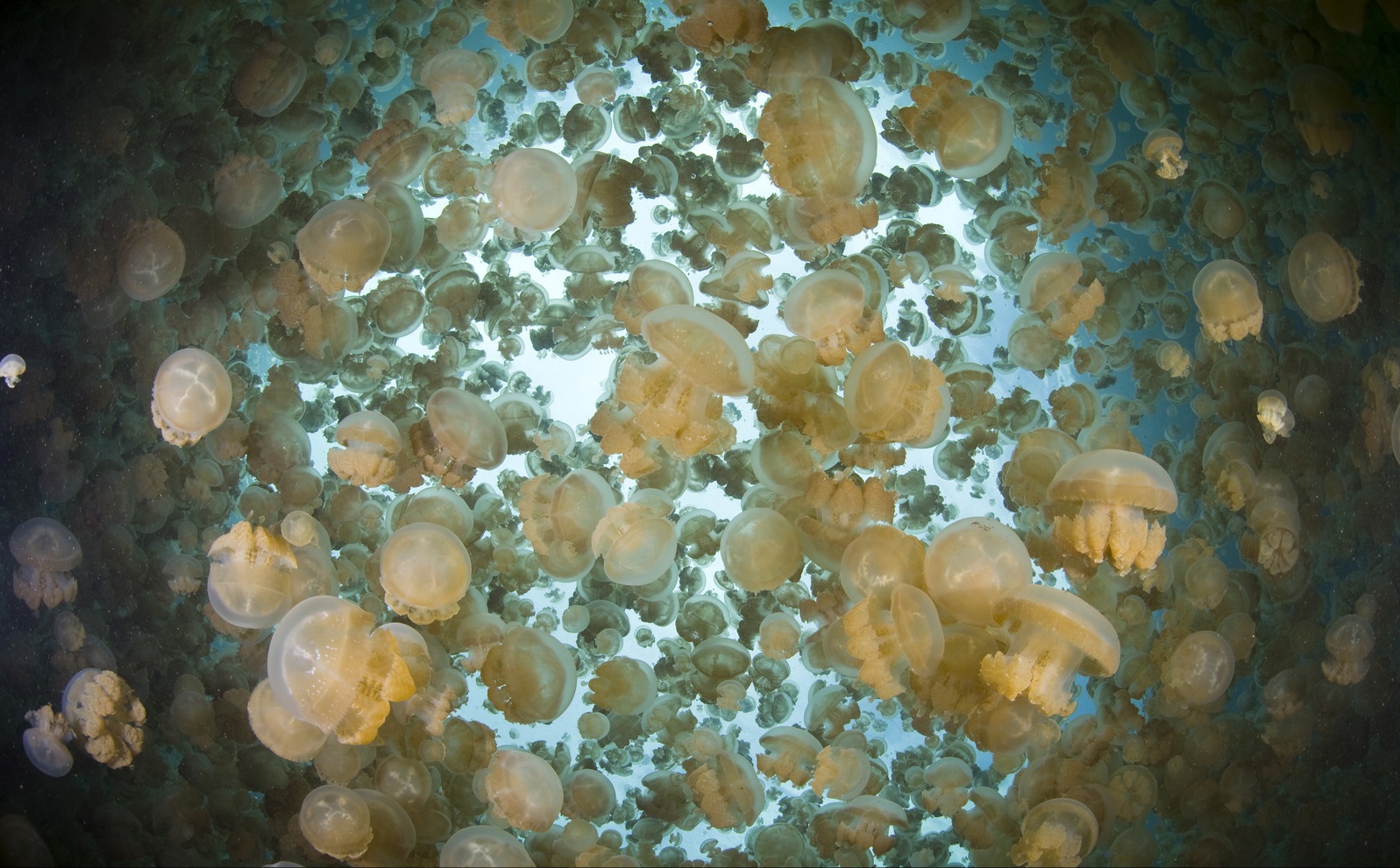
Photo credit: © Ethan Daniels