Marshall Islands
Overview
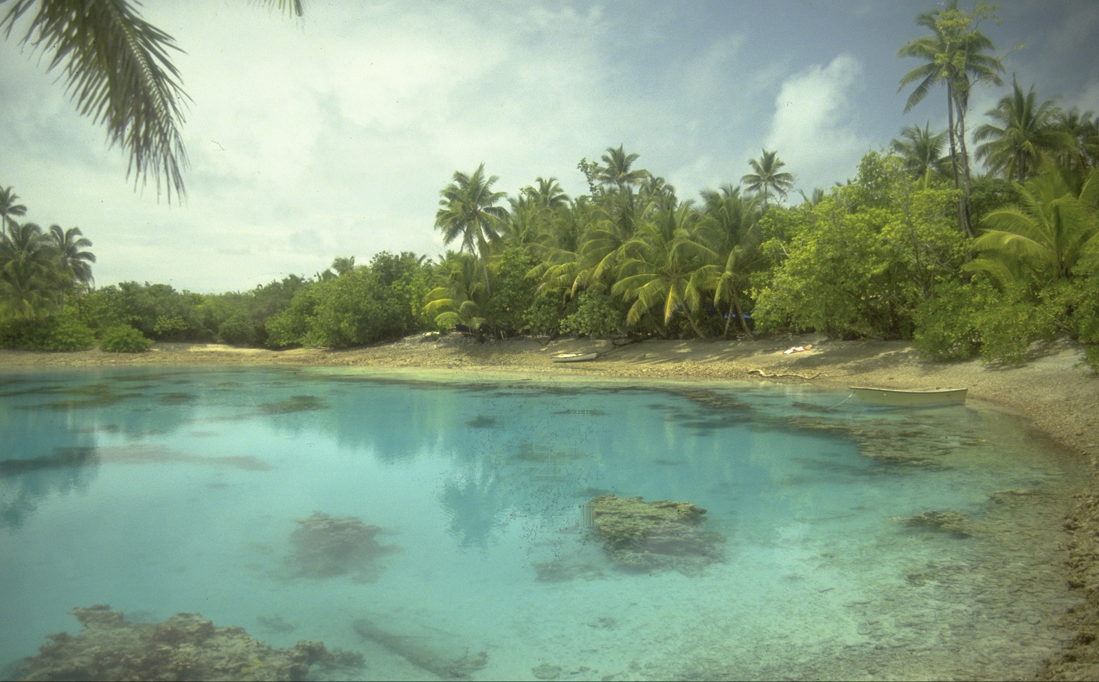
The Marshall Islands represent a unique case for conservation planning due to their geographic isolation, lack of substantial environmental data, high levels of subsistence use of natural resources, and traditional land-tenure and governance systems. The Marshall Islands’ marine resources also span a very large extent with an EEZ of over 2 million km2 , home to 29 low-lying coral atolls and five solitary low coral islands. These marine environments are rich in productivity and biodiversity.
Historically, traditional conservation practices and enforcement have historically prevented environmental degradation, but the decline of these practices had led to unchecked harvesting of marine resources. Additionally, invasive species, unsustainable and illegal fishing practices, increasing coastal development, and the threats associated with climate change and sea level rise put significant pressures on the Marshall Islands’ marine environment.
In 2006, the President of the Marshall Islands signed on to the Micronesia Challenge, committing to effectively conserve 30% of nearshore coastal and marine resources by 2020. Despite localized efforts to establish conservation efforts across the Marshall Islands, the commitment to the Micronesia Challenge underscored the need to implement an overarching approach to conservation planning.
Principles of planning process included:
- Inter-sectoral involvement – participation from a wide range of government agencies
- Consultative, open and transparent – many meetings and workshops with stakeholders to obtain feedback
- Practical and relevant – ensuring approach was directly applicable to unique aspects of Marshall Islands
- Building capacity for conservation – planning process used as an opportunity to develop knowledge, skill, and to build tools and frameworks for effective conservation.
The process of identifying conservation targets relied heavily using local knowledge during the stakeholder engagement process to identify areas and species of cultural significance. Conservation targets were identified at a coarse-scale, for broad habitat categories and ecosystems, and at a finer scale for important species targets, rare communities, threatened/endemic/flagship species, and places and species with cultural and/or economic importance.
In the resulting plan, the primary strategy for the establishment and management of conservation areas and targets is through community-based fisheries and resource management planning on individual atolls. To ensure success of the plan moving forward, the plan set up steps for performance monitoring, evaluation, and adaptive management, as well as continuing education, awareness and capacity building at the community level.
TNC’s Role
- Fundraising
- Process facilitation
The planning team consulted with TNC experts on various aspects of plan development, and used TNC’s Designing a Geography of Hope ecoregional planning framework to guide process. TNC also helped to develop a long-term fundraising strategy for the Marshall Islands to ensure long-term support for conservation management, and to determine how to make the most effective use of funds committed during the Micronesia Challenge.
Project Partners
Lead Institution: Marshall Islands Marine Resources Authority
Other Partners: Australian Government Department of the Environment, Water, Heritage and the Arts (funder); Republic of the Marshall Islands Office of Environmental Planning and Policy Coordination; Marshall Islands Visitors Authority; College of the Marshall Islands; Marshall Islands Conservation Society; International Centre for Environmental Management; UNDP; GEF
Status
This ecoregional planning framework was completed in 2007, and includes provisions for a review every five years.
Fact Sheets and Project Links
- Reimaan National Planning Team. 2008. Reimaanlok: National Conservation Area Plan for the Marshall Islands 2007-2012. Published by: N. Baker: Melbourne.
- Baker, N., Beger, M., McClennen C., Ishoda, A., and Edwards, F., “Reimaanlok: A National Framework for Conservation Area Planning in the Marshall Islands,” Journal of Marine Biology, vol. 2011, Article ID 273034, 11 pages, 2011. doi:10.1155/2011/273034
Contact
Trina Leberer
Pacific Division Director
Email: tleberer@tnc.org
Photo credit: © Will Heyman, © The Nature Conservancy