Indonesia – Raja Ampat
Overview
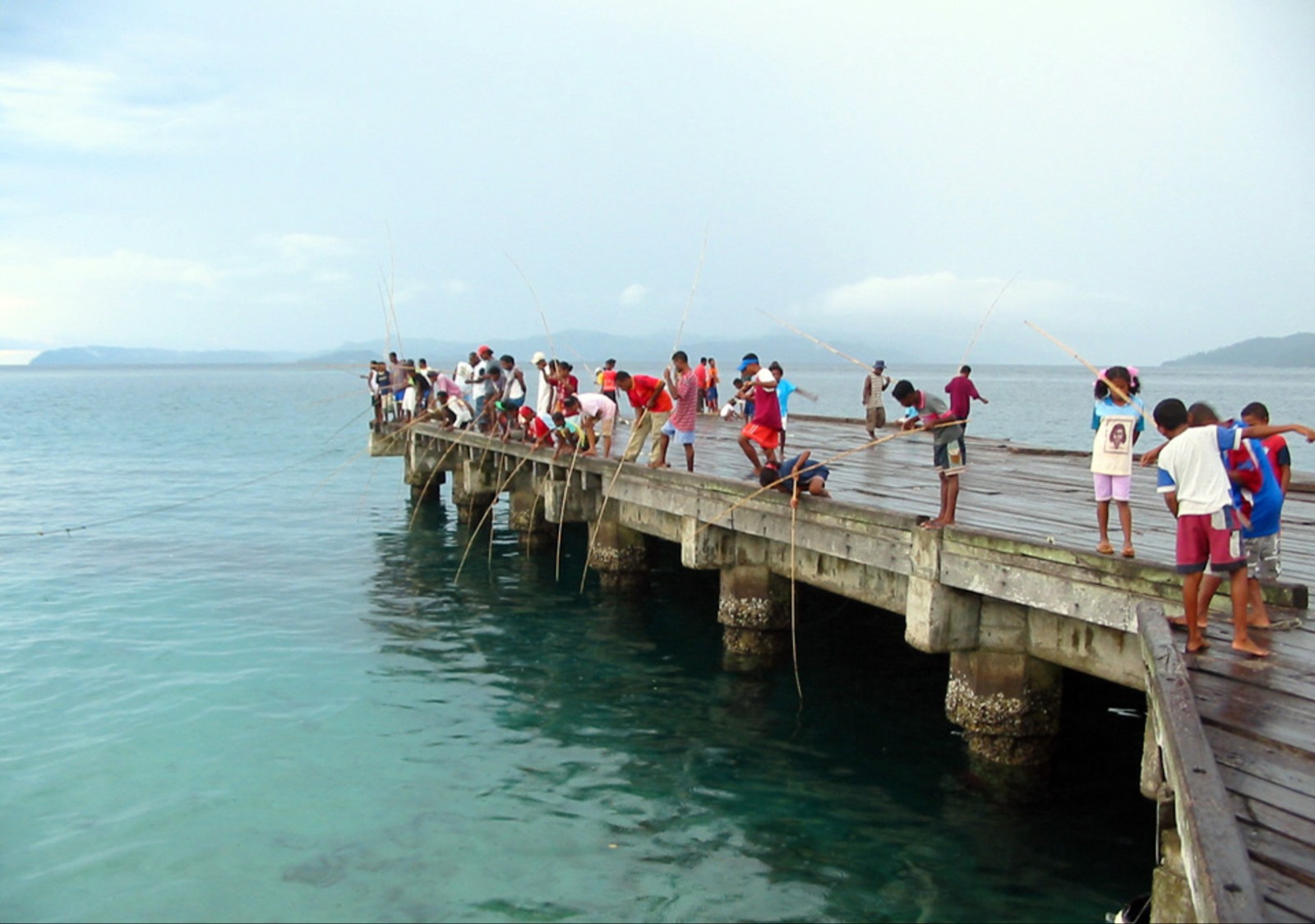
The Raja Ampat, or Four Kings, archipelago encompasses some four million hectares of land and sea off the northwestern tip of Indonesia’s West Papua Province. It is located in the Coral Triangle, the epicentrum of the world’s coral reef biodiversity, and is home to the highest number of coral species recorded anywhere in the world. Its coral colonies appear to be resilient to threats such as coral bleaching and disease, and the strong currents in the area are believed to sweep coral larvae across the Indian and Pacific oceans to replenish other reef ecosystems. On land, Raja Ampat is home to lush forests, rare plants, limestone outcroppings, and nesting beaches for thousands of sea turtles. Raja Ampat’s coral diversity, resilience to threats, and potential to replenish reefs make it a global priority for marine protection. Though human impacts in Raja Ampat are less severe than elsewhere in Indonesia, the archipelago’s natural resources face an array of threats including unsustainable and destructive fishing practices, deforestation, rapid land development, poor land-use practices, oil and gas exploration and climate change.
In spite of these threats, Raja Ampat has relatively healthy ecosystems, as well as local communities with government structures and interest in natural resource conservation. This affords a unique opportunity for designing and implementing effective marine management strategies that provide a sustainable balance between food provisioning, livelihoods and development.
To work towards this goal, the project team is supporting the development of zoning plans for MPAs in the region. This project considers all of the Raja Ampat MPAs together as a network, as a way of addressing both biodiversity conservation and sustainable fisheries. Developing a network-wide zoning system for the MPAs will strengthen sustainable management of these activities in Raja Ampat by identifying appropriate areas for both conservation and resource use. Given the high reliance of local communities on fishing as a source of food and income, and the importance of developing other sustainable industries such as tourism and low-impact mariculture.
The development of marine zoning plans for each of brought together all available information on conservation features, resource use patterns and threats into a decision analysis framework to help design zoning plans. The project took into account the contribution of each MPA to the network as a whole, recognizing that each MPA will provide different ecosystem services and include different habitat types, fisheries and other features. The project aimed to address conservation and fisheries objectives within the spatial analysis. By mapping resource use across the MPA network, the project spatially represented stakeholder interests, particularly for artisanal fishers who rely on access to marine resources critical to their subsistence and livelihoods.
TNC Role
- Fundraising
- Government relations;
- Marxan
- Process facilitation;
- Science/technical expertise
- Stakeholder engagement
TNC’s Indonesia Marine Program and Global Marine Team and its partners built a comprehensive spatial database which integrated a variety of information, including biological and human uses, across the MPA network. In order to integrate these datasets and explore tradeoffs between placing fisheries and conservation zones in specific locations, the project team used Marxan with Zones software.
TNC also helped to facilitate stakeholder engagement activities, including community participatory mapping, expert mapping, and zoning design feedback in order to fill data gaps, incorporate local knowledge, and effectively address stakeholder needs.
Using information from these activities, the project team developed a series of decision support tools, including maps, and an analysis of zoning scenarios.
TNC and Conservation International contributed to the establishment of the Blue Abadi Trust Fund for conservation in this region.
Project Partners
Lead Institution: Government of Indonesia, Ministry of Marine Affairs and Fisheries (MMAF)
Project Partners: University of Queensland, Conservation International, Raja Ampat Regency Government, Belai Besar Konservasi Sumber Daya alam Yayasan Penyu Papua, local communities
Project Status
The team is working closely with MMAF and USAID SEA project to refine the MPA network design, and anticipates that the Birds Head Seascape MPA network will be established by the end of 2018. With the funds from USAID Strategic Environmental Advance, the team is currently helping MMAF to produce national guidelines on the MPA network design and implementation. This will be completed in June 2018. This will also guide revision of the MPA management and zoning plan in Indonesia.
Fact Sheets and Project Links
Contact
Glaudy Perdanahardja
Ocean Protection Senior Manager
Indonesia Program Office
Email: gperdanahardja@tnc.org
Photo credit: © Peter Mous/TNC