St. Kitts & Nevis
Overview
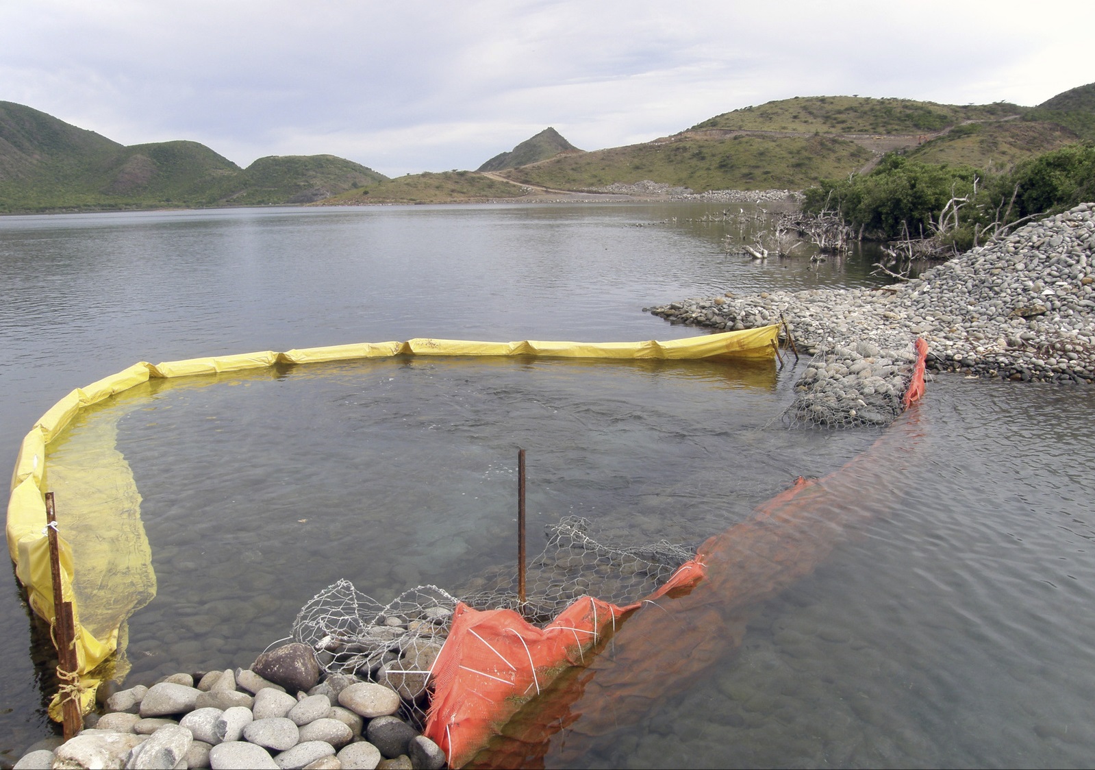
In 2010, TNC, in collaboration with the Maritime Administration conducted an MSP exercise and drafted a marine zoning design for St. Kitts and Nevis (SKN) under the Marine and Coastal Biodiversity Threat Abatement in the Eastern Caribbean (BioTA) project. Like many island nations in the Caribbean, SKN’s residents rely heavily on marine resources for their livelihoods; however, marine habitats and biodiversity are being threatened by rapid coastal development, overfishing, and other pressures. SKN was selected as a pilot site for MSP in the Caribbean for meeting a number of criteria, including government awareness and interest in marine zoning, potential existing policy instruments for implementing zoning, data availability, and the need to resolve existing conflicts.
Using MSP guiding principles of stakeholder engagement at all levels and employing the best available science, the project team used the following process:
- Engage stakeholders
- Establish clear objectives
- Build a multi-objective database
- Develop decision support products
- Generate draft zones
Extensive stakeholder engagement took place via targeted meetings with appropriate government ministries and departments as well as through a series of workshops to reach out to varied government and community groups. Through these workshops, the team was able to reach out to a variety of stakeholders, including high-level government officials, community groups, the private business sector, and fishers’ associations. During these workshops, stakeholders provided data on a variety of human uses, supplementing existing databases with local knowledge. Additionally, scientists added to existing data by conducting a fine scale benthic habitat mapping effort and reaching out to local fishers via a survey to map locations of fish landings.
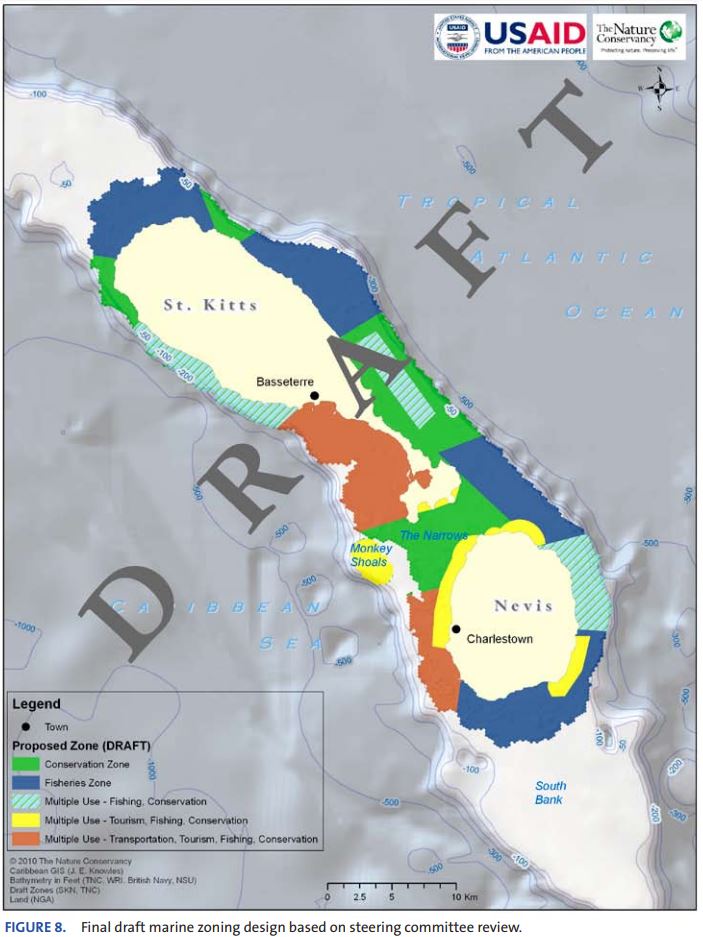
Using these data, the project team developed a series of decision support products, including a spatial database, an online mapping tool, a compatibility matrix, a series of maps depicting fisheries uses, benthic habitat, and compatibility among uses, and other products. These products were used to inform and develop a comprehensive marine zoning design which identified five use zones (conservation zone; fisheries zone; multiple use- fisheries and conservation; multiple use – tourism, fishing and conservation; and multiple use – transportation, tourism, fishing and conservation) approved by the stakeholders.
TNC’s Role
- Marxan
- Policy analysis
- Stakeholder engagement
- Science/technical expertise
- Process facilitation
TNC initiated and secured funding to carry out this effort. TNC brought in technical expertise to carry out spatial data evaluation and management and led additional data collection efforts including building datasets from expert knowledge, mapping benthic habitats, and surveying local fishers. These data were used in a Marxan analysis and other decision-support tools to support zoning design, which were vetted through a series of stakeholder meetings and workshops. TNC also completed a comprehensive note to policy makers on “Building a Legal Framework for Marine Zoning in the Federation of St. Kitts and Nevis” (Bovino 2010) as part of the effort (See Appendix F in report link below)
Project Partners
Lead Institution: The Nature Conservancy
Other Partners: USAID (Funder); Government of St. Kitts and Nevis; Caribbean Development and Environmental Consultants, Inc.
Fact Sheets and Project Links
Contact
Sherry Constantine, Ph.D.
Senior Program Manager
Caribbean Division
Email: sconstantine@tnc.org
Photo credit: Mark Spalding/© The Nature Conservancy