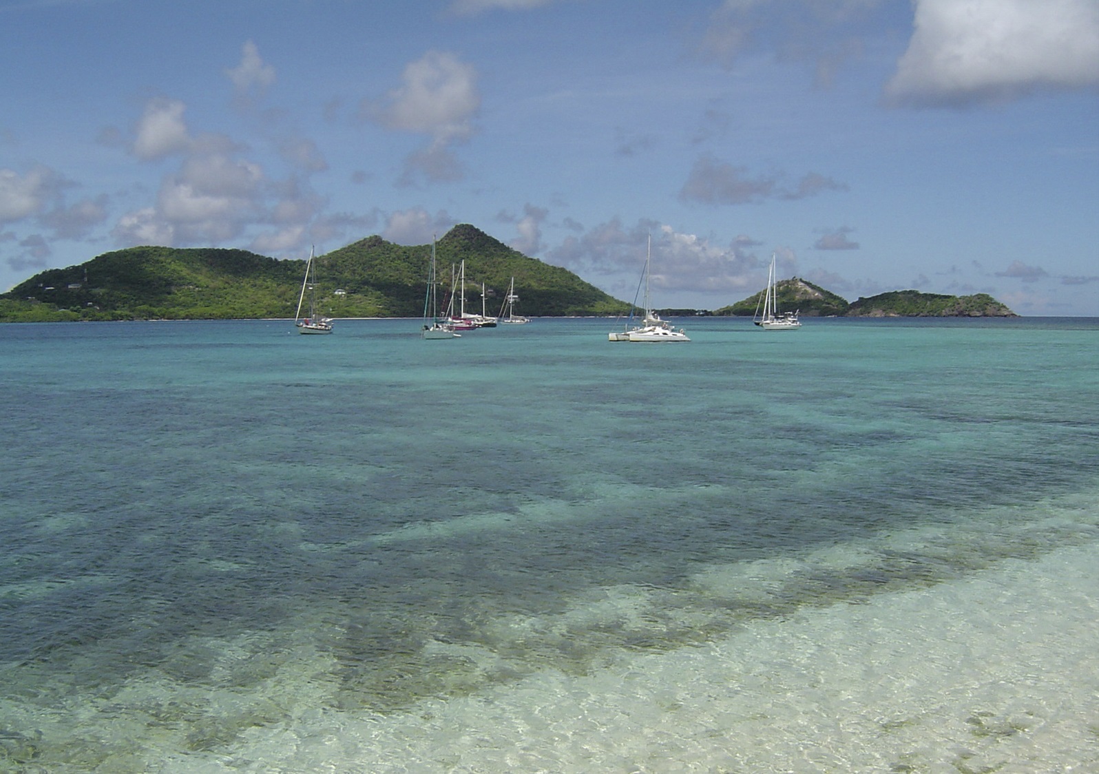
Grenada
Overview
Grenada has been a leader in the Caribbean Challenge Initiative, which calls for sustainably managing and protecting 20% of the Caribbean’s marine and coastal ecosystems by 2020. Grenada’s Marine Protected Network spans its three islands and is managed in close collaboration with the Ministry of Fisheries, the island’s MPA Management Committee and community stakeholders with support from The Nature Conservancy.
The Nature Conservancy also supported a project to create a framework for a multi-use zoning plan for the Grenada Bank – an offshore area encompassing waters from both Grenada and St. Vincent and the Grenadines. This project built upon the marine protected area network plan to increase the effectiveness of MPAs in both nations.
The first phase of this project resulted in the creation of Grenadines Marine Resource and Space-use Information System (MarSIS), a compilation of data on human uses and the environment thought to be relevant to MSP in the region. Participatory research methods (e.g., socioeconomic surveys, mapping exercises, marine field surveys) were used to supplement existing data by incorporating local knowledge and to fill data gaps. Based on these data, project leads developed maps of important marine habitats and resources, as well as locations of human uses. These maps were used to develop a zoning scheme, identifying areas for fishing, conservation, and multiple uses.
This project demonstrated how participatory mapping (PGIS) as a means for achieving stakeholder engagement within an MSP process by providing opportunities for stakeholder participation, lending transparency to the process, and increasing the likelihood that final planning products will be accepted and adopted.
TNC is also working on developing high resolution benthic habitat maps for Northern Grenada. It is anticipated that these data products can be used to inform future MSP efforts.
TNC’s Role
- Science/technical expertise
- Stakeholder engagement
- Process facilitation
- Marxan
- Financing
TNC has provided financial support for Grenada’s marine protected area network. They provided technical support, data, and guidance on mapping for the SusGren project. They also assisted with participatory mapping workshops. TNC scientists are currently leading the benthic habitat mapping project.
Project Partners
Lead Institution: Grenada Ministry of Fisheries (MPA network); SusGren (PGIS and marine zoning framework)
Other Partners: NOAA, GEF Small Grants Programme
Status
The SusGren PGIS project has been completed but the resulting zoning design has not been implemented. Habitat mapping for Northern Grenada will be completed in 2017.
Fact Sheets and Project Links
Contact
Sherry Constantine, Ph.D.
Senior Program Manager
Caribbean Division
Email: sconstantine@tnc.org
Photo credit: © James Byrne for The Nature Conservancy