
Antigua & Barbuda, Dominica, and St. Lucia Benthic Habitat Mapping
Overview
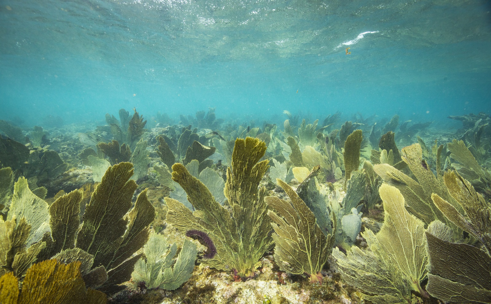
The Nature Conservancy developed satellite-derived maps for biological cover for Antigua & Barbuda, Dominica, and St. Lucia. Benthic habitat maps were completed for all areas out to 30 meters. It is anticipated that the resulting GIS products will be used to inform MSP initiatives.
TNC’s Role
- Science/technical expertise
The Nature Conservancy led this effort.
Project Partners
Lead Institution: The Nature Conservancy
Other Partners: German Federal Ministry for the Environment, Nature Conservation, Building and Nuclear Safety (Funder)
Status
Completed in 2016
Fact Sheets and Project Links
Contact
Steve Schill
Lead Scientist
Caribbean Division
Email: sschill@tnc.org
Photo credit: © Tim Calver