Canada
Overview
Canada has the world’s longest coastline, stretching more than more than 202,080 km (125,000 miles) around its borders. These waters harbor an incredible array of marine life and support the economic and cultural well-being of millions of people. Worldwide, oceans are facing many challenges – overuse, climate change and the loss of biodiversity. To address these challenges, Canada’s federal government developed the Oceans Act in 1996 and more recently pledged to protect at least 10 percent of its marine and coastal areas by 2020. About 5 percent of Canada’s economy directly comes from the ocean and a much higher percentage is responsible for a sustainable future that balances economic growth with environmental and social values — including reconciliation with indigenous people. On Canada’s west coast, marine spatial plans were recently completed and we are fortunate to now have strong marine plans that underpin co-management between First Nations and the Province of BC and tripartite relationships with First Nations, Province of BC and Federal Government on marine protected areas towards completing Target 1 for Canada.
The North Pacific Coast is situated in the province of British Columbia (BC) and spans more 101,200 square kilometres (25 million acres) from Campbell River to Alaska. The world-famous Great Bear Rainforest borders this vibrant marine region and together the terrestrial and marine ecosystems support 20 percent of the remaining wild Pacific salmon runs. A spectacular array of marine life live in these waters includingwhales, seabirds, dolphins, sharks, rays, and glass sponge reefs. The region supports many commercially and culturally valuable species such as salmon, herring, sea cucumber, Dungeness crab and eulachon. In the North Pacific Coast, sea, land and people are inextricably connected; grizzly and black bears rely on salmon for survival, industries such as forestry, tourism and fishing contribute almost $14 billion to Canada’s economy, and for more than ten thousand years First Nations have relied on marine and terrestrial ecosystems for food, livelihoods and cultural well-being. The North Pacific Coast supports BC’s fisheries sector, contributing upwards of $667 million to provincial GDP and employing nearly 14,000 people.
For more than a decade we have partnered with First Nations in the Great Bear Rainforest on the Central Coast. Building on this success, our work now extends to the marine environment to support the creation of a 186,000 square km (46-million-acre) conservation corridor and the implementation of marine spatial plans. Our work includes:
- Supporting the implementation of the Marine Plan Partnership for the North Pacific Coast (MaPP);
- Supporting the scientific analysis and stakeholder review for the Northern Shelf Bioregion Marine Protected Area Network;
- Engaging with the region’s fisheries sector to support MPA design criteria and proposals;
- Fostering sustainable, locally-led fisheries to support implementation of MaPP; and
- Exploring innovative financial models for sustainable, local fisheries.
TNC’s Role
- Financing
- Science and technical expertise
- Stakeholder engagement
Project Partners
- Marine Plan Partnership for the North Pacific Coast (MaPP)
- Central Coast Indigenous Resource Alliance (CCIRA), and its Community Fishing Enterprise, the Central Coast Commercial Fisheries Association (CCCFA)
- Ecotrust Canada
- Marine Protected Area network Technical Team (MPATT)
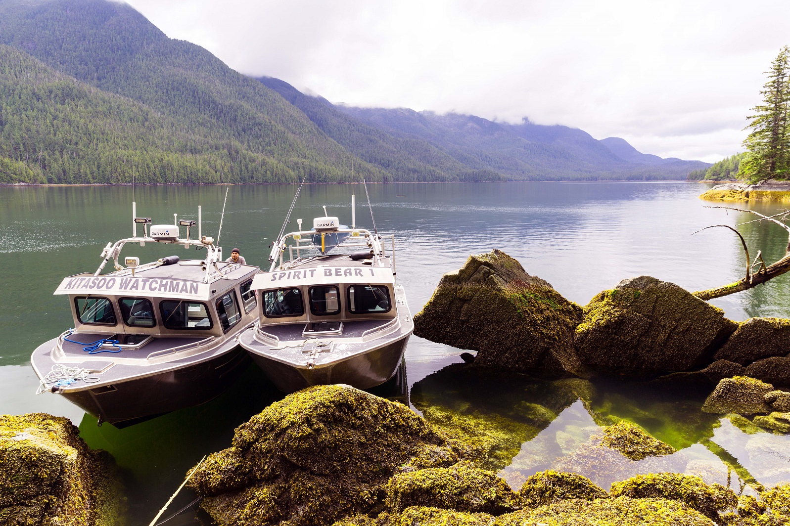
- First Nations in the region, including the Heiltsuk, Kitasoo XaiXais, Nuxalk and Wuikinxv Nations
Status
The Marine Plan Partnership completed four sub-regional marine plans in April 2015 and a Regional Action Framework in May 2016. Implementation agreements were signed in August 2016, formalizing the plan implementation process. The plans are being implemented over the next 5-10 years, with our financial support and other funders.
We are providing scientific and technical support to the MPA network technical team to analyse data, develop geospatial data catalogues, develop and run Marxan scenarios, and propose areas for consideration in the MPA network for the Northern Shelf Bioregion.
Fact sheets and links
Contact
Jenn Burt, Ph.D.
BC Marine Program Lead
Nature United
Email: jenn.burt@tnc.org
Jenny Brown, Ph.D.
Director of Conservation
Nature United
Email: jfbrown@natureunited.org
Joanna Smith, PhD.
Director, Ocean Planning and Mapping
Global Oceans Team
Nature United
Email: joanna_smith@tnc.org
Photo credit: © Jason Houston