New coral reef tourism models to inform Barbados Marine Spatial Plan
Following the landmark 2022 debt conversion that unlocked new financing for marine conservation, Barbados has embraced Marine Spatial Planning (MSP) as a science-driven approach to balance development needs with the protection of its coastal and marine ecosystems.
A strong technical foundation has anchored this progress. Through extensive data mapping, scenario modeling, and cross-sector collaboration, TNC is supporting Barbados in designing a plan that reflects the diverse demands on its ocean space while advancing biodiversity, livelihoods, and climate resilience. Guided by TNC’s marine science expertise, teams modeled future ocean use scenarios—assessing implications for fisheries, tourism, renewable energy, and climate adaptation—informing the country’s MSP development in conjunction with extensive stakeholder consultations.
As part of this effort, The Nature Conservancy used the Mapping Ocean Wealth approach to develop coral reef-related tourism models at the national scale for Barbados in 2024. These models utilized Flickr tourism data and dive sites from past regional (reef-adjacent, Spalding et al. 2018) and global (on-reef, Spalding et al. 2017) Mapping Ocean Wealth models in combination with the latest coral reef maps (4m spatial resolution, Schill et al. 2021) and most recent national tourism statistics from the World Bank.
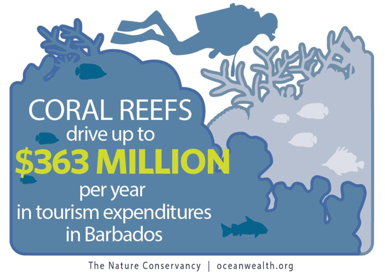
The results show that, at a national level, coral reefs drive up to $363 million per year in tourism expenditures in the Barbados – $77M through on-reef tourism (snorkeling and diving) and $286M through reef-adjacent tourism (kayaking on calm waters, visiting sandy beaches, eating at seafood restaurants, etc.). These data make a strong economic case for coral conservation in Barbados and will be used as an input layer to the marine spatial planning scenarios, identifying areas for tourism activity and supporting conservation of reefs that provide significant economic benefits to people.