Georgia (US)
Overview
Marine Spatial Planning in the state of Georgia has taken the form of a pilot project, building off MSP efforts in the larger Southeast Atlantic. The Georgia Coastal Management Program recognized a need for more informed planning of offshore activities. To address this need, the program took steps towards identifying regulatory processes, agencies, and data that could be used in planning. This led to the creation of the Georgia Coastal and Marine Planner (GCAMP), a web-based map tool that can be used to access data and information relevant to coastal and marine planning and decision-making.
TNC’s Role
- Science/technical expertise
- Process facilitation
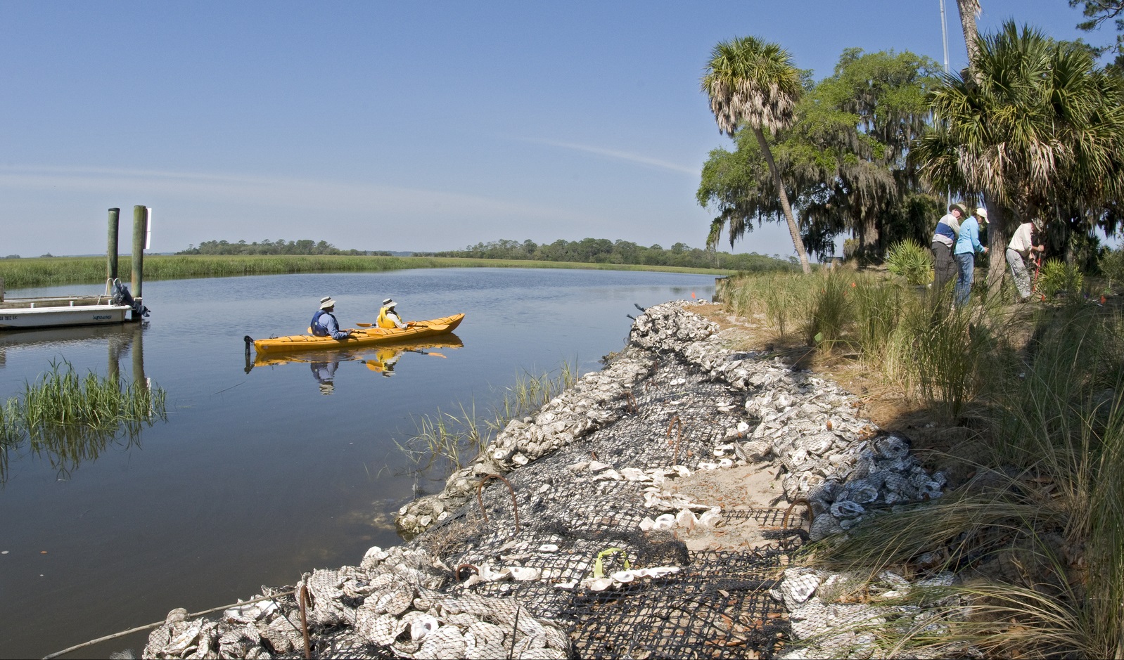
TNC worked with GCMP to help develop the framework for MSP in the state, and assisted with data collection for GCAMP through leading its Coastal Georgia Human Use Mapping Project (focusing on recreational uses).
Project Partners
Lead Institution: Georgia Department of Natural Resources, Coastal Resources Division
Other Partners: Georgia Institute of Technology Center for Geographic Information Systems, Strategic Energy Institute
Status
Georgia has launched Georgia Coastal and Marine Planner (GCAMP) but there are no current plans to develop a statewide plan.
Fact Sheets and Links
- Georgia Coastal and Marine Planner (GCAMP)
- Georgia: The Future of Fishing Holes
- Coastal Georgia Human Use Mapping Project
Contact
Robert Crimian
Southeast Coast and Ocean Partnership Coordinator for the South Atlantic Whole System
Email: rcrimian@tnc.org
Photo credit: © Clay Bolt