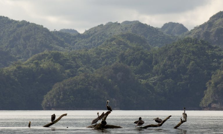
Mexico – Marismas Nacionales
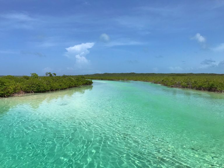
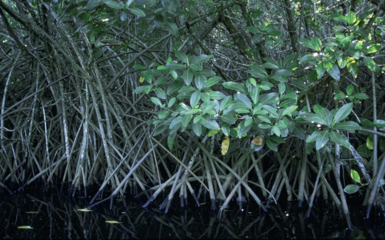
Overview Marismas Nacionales’ extensive brackish lagoons and 220,000 hectares of mangroves makes it a wetland of international importance. This ecosystem provides important environmental services for the world and its inhabitants, by providing fertile…