Software

- InVEST
Open-source software models used to map and value ecosystems services - Marxan
Decision support software for designing new reserve systems, performance monitoring, and zoning design - Marxan with Zones
Extends Marxan capabilities by providing zoning options in geographical regions for biodiversity conservation - Miradi
Project management tool for conservation practitioners - SeaSketch
Online, customizable participatory mapping platform
Planning Portals

- Blueways Conservation
Decision support tool for marine migratory corridors - Marine Cadastre
Web-based map viewer for legal, physical, ecological, and cultural data in the US - MaPP (Canada)
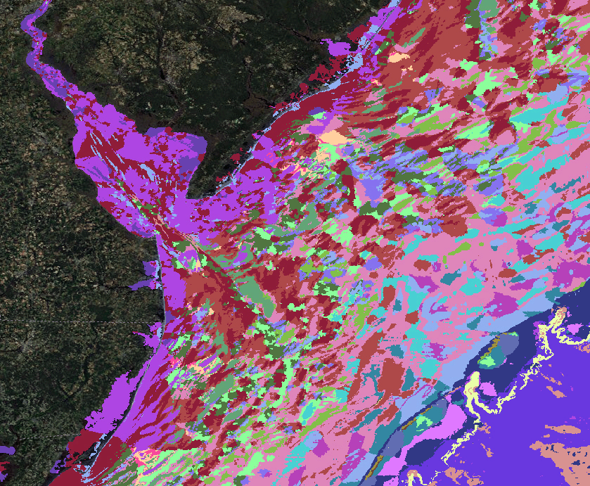
A tool that allows users to access information and maps on the MaPP sub-regional marine spatial plan zones - Mid-Atlantic Ocean Data Portal
Contains a compilation of data to inform regional marine planning from New York to Virginia - Northeast Ocean Data
A decision support and information system supporting regional ocean planning in the Northeast US - Washington Marine Planner
An online decision support tool designed in response to the State of Washington’s marine spatial planning process


