
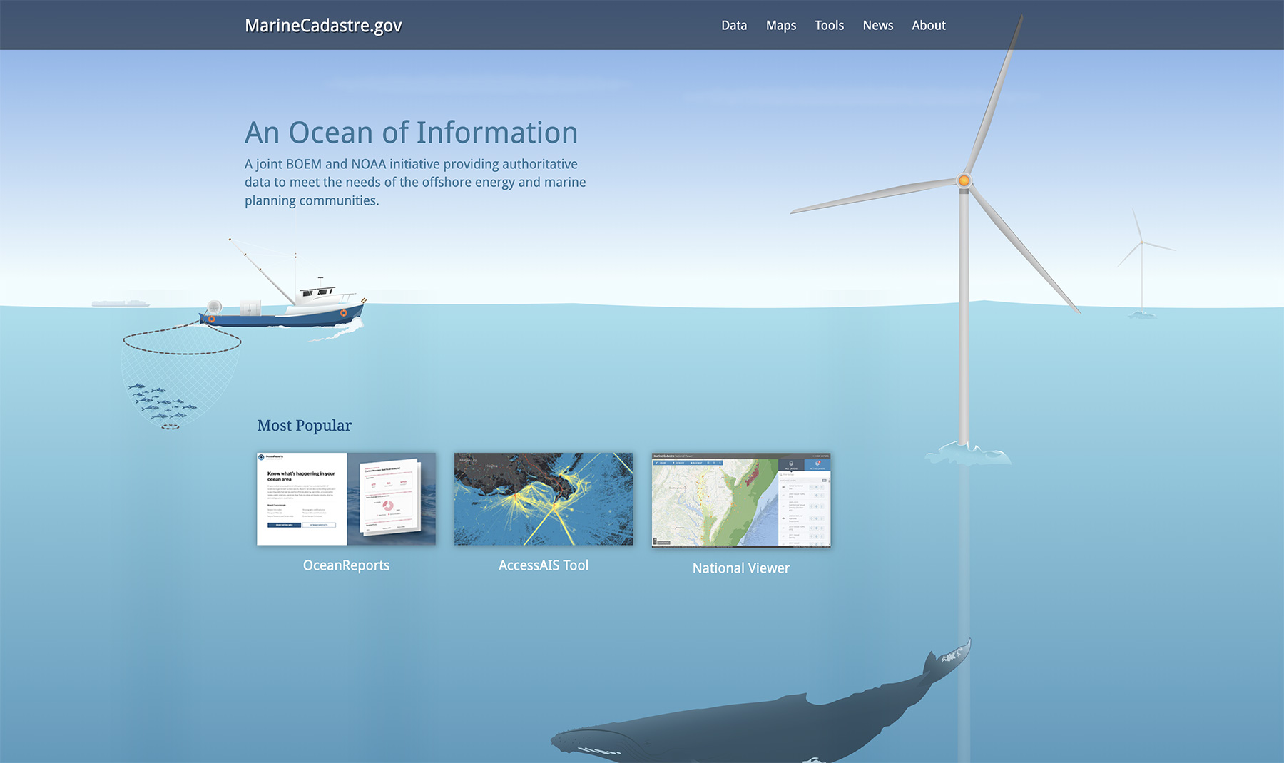
Overview
Coastal managers and energy developers need to consider an ocean of information from a host of sources when making decisions—often under tight deadlines. MarineCadastre.com provides the necessary data and analysis tools in one location, making it the premier site for ocean energy and marine planning. The Bureau of Ocean Energy Management (BOEM) and the National Oceanic and Atmospheric Administration (NOAA) created the website and partnered with other organizations to bring together the most useful and relevant resources. MarineCadastre.gov includes various web-based maps that show legal, physical, ecological, and cultural data in a common geographic information system (GIS) framework. Users choose an ocean area and quickly see the applicable jurisdictional boundaries, restricted areas, laws, critical habitat locations, and other important features. Marine cadastre was created to facilitate siting of offshore renewable energy projects, and now many of its data resources are also being used for marine planning. With marine cadastre, potential conflicts can be identified and avoided early in the planning process, and it serves as a valuable tool for the permit review process.
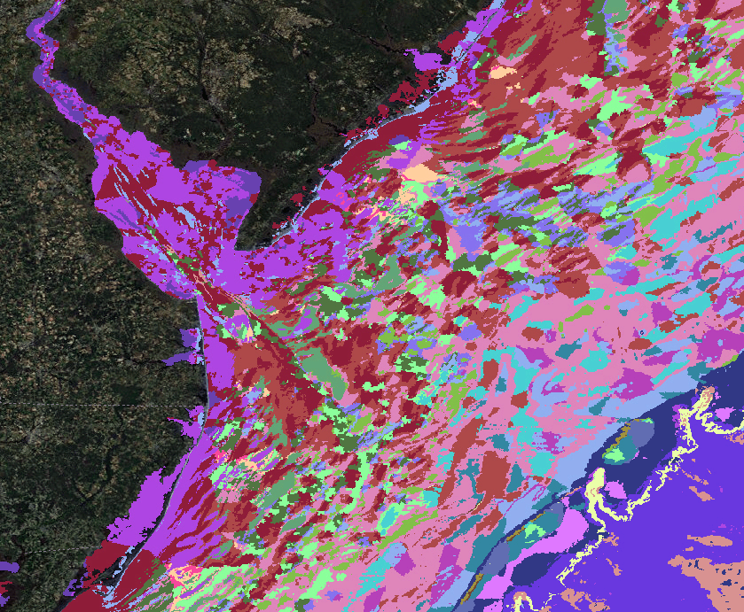
Initially, the project focused on providing authoritative data from government sources with an emphasis on legal and administrative features. However, it has evolved to include other data, including the biodiversity data from The Nature Conservancy’s Northwest Atlantic Marine Ecoregional Assessment in its Maps. These data are the first to be added as trusted data, meaning they are considered reliable but not authoritative. Inclusion of trusted data will increase marine cadastre’s utility as a tool for multi-objective planning. Staff from The Nature Conservancy worked closely with the U.S. Bureau of Ocean Energy Management (BOEM) and National Oceanic and Atmospheric Administration (NOAA) to plan and begin the process of incorporating trusted data into the project.
Following this successful pilot project to add biodiversity data from the eastern United States, The Nature Conservancy is now collaborating with federal partners toward adding more biodiversity data. Adding these trusted data is important to ensure that coastal and marine spatial planning and alternative energy planning can address conservation goals.
Geographic Location
MarineCadastre.gov contains data for ocean and coastal waters of the United States.