Oregon (US)
Overview
The State’s ocean planning program began in 1991 and has had three recent examples of spatial planning. The first focused on proactively identifying areas for the development of offshore renewable energy facilities. The State conducted two years of mapping to document the socioeconomic uses and values of the ocean, including detailed information about fishermen’s gear and specific fishing locations. In addition, the State mapped important marine habitats, and other “beneficial uses”, which refers to areas important for food production, recreation, and aesthetic enjoyment. Using these data, geospatial analysis identified areas of use conflicts, sensitivity, and compatibility to identify areas. This effort resulted in a map designating areas appropriate for marine renewable energy, project review stands and criteria, and enforceable policies. This effort was adopted by the State in 2013.
The second involved a multi-year process to designate new marine reserves, which resulted in five new reserves and protected areas and increased the area of protected state waters from less than two percent to more than nine percent. The last effort was launched in 2017 and will update the maps and designations for Oregon’s rocky shores including tide pools, headlands, rocky beaches, cliffs and offshore rocks.
TNC’s Role
- Science/technical expertise
- Advisory
The Conservancy supported the renewable energy effort by digitizing the State’s fisheries logbook data. In addition, the State relied on Oregon MarineMap, which was based upon the MarineMap consortium composed by software developers at the University of Santa Barbara, Ecotrust, and The Nature Conservancy. TNC. For marine reserves, the Conservancy provided maps and science expertise and participated in the community teams to identify the protected areas and formal designation efforts by the state legislature. For the rocky shores planning effort, Conservancy staff is serving in designated leadership roles within the work group and the Ocean Policy Advisory Council which will provide recommendations to the state for adoption.
Project Partners
Lead Institution: State of Oregon Land Conservation and Development
Other Partners: Federal Energy Regulatory Commission (FERC), BOEM, NOAA, NMFS, Oregon Coastal Zone Management Agency, renewable energy community advisory committees (Port Orford Ocean Resource Team, Southern Oregon Ocean Resource Coalition, Fishermen Interested in Natural Energy, Florence Oregon Ocean Resources Commission, Nearshore Action Team), Oregon Wave Energy Trust, Ocean Policy Advisory Council (OPAC) and its Scientific Advisory Committee (STAC), Ecotrust, Surfrider Foundation, Oregon Shores Conservation Coalition, Audubon Society, Oregon Department of Fish and Wildlife, Coast Range Association and others.
Status
Most recent amendment implemented in 2013
Fact Sheets and Project Links
Contact
Jena Carter
Marine and Coastal Conservation Director
Oregon Field Office
Email: jcarter@tnc.org
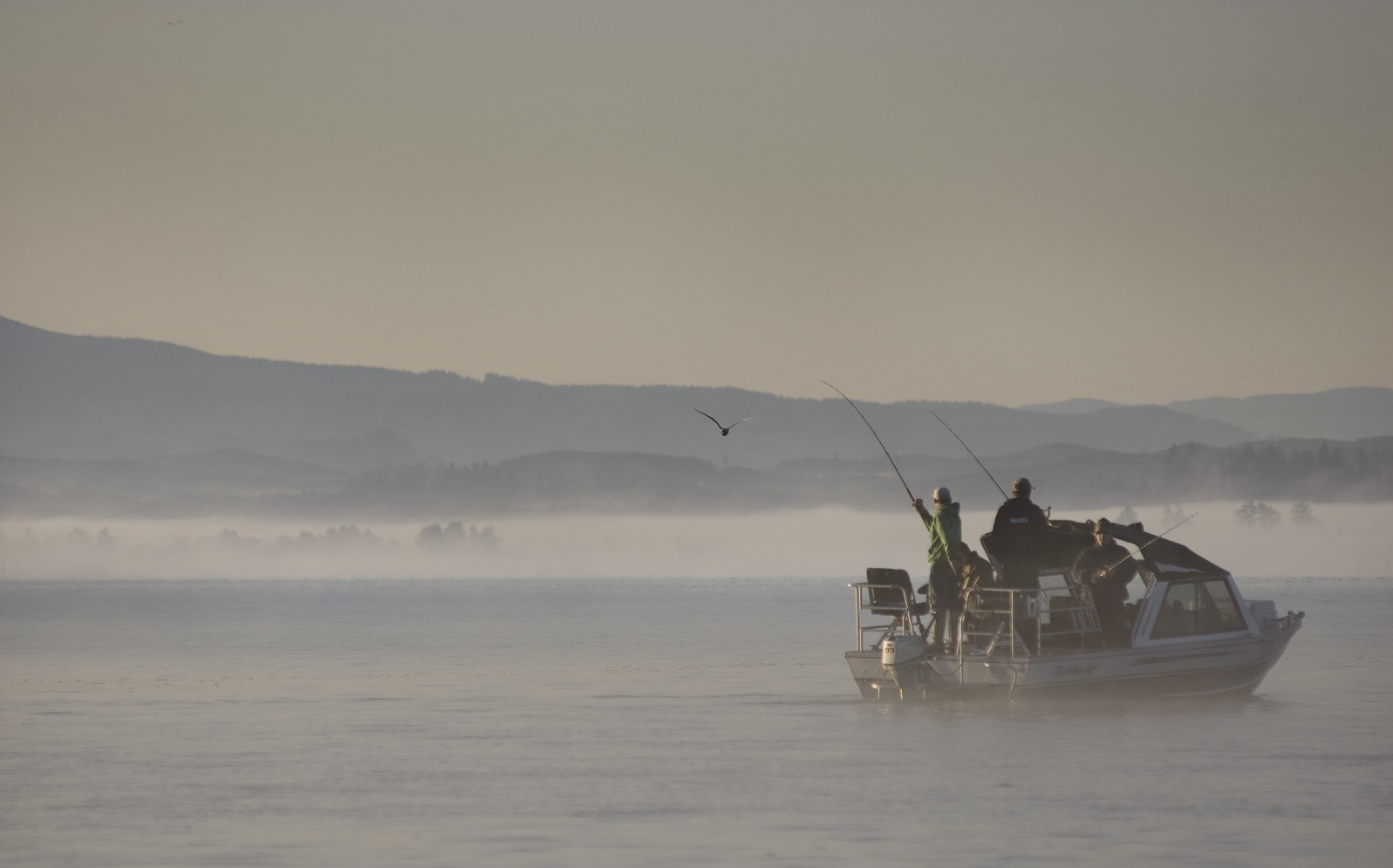
Photo credit: ©Bridget Besaw