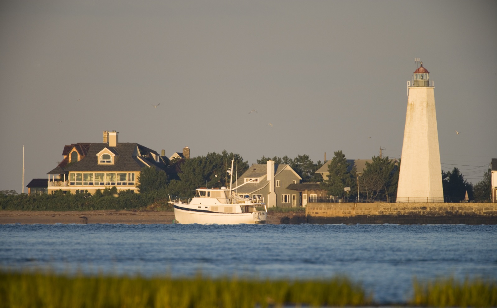
Northeast (US)
Overview
In 2010, President Barack Obama issued an Executive Order that established the first-ever national ocean policy, created a National Ocean Council composed of cabinet-level officials, and directed federal agencies to implement coastal and marine spatial planning (CMSP) consistent with the Final Recommendations of the Interagency Ocean Policy Task Force.
In response to this order, the Northeast Regional Planning Body (RPB) was formed in 2012. The Northeast RPB consists of representatives from states (Maine, New Hampshire, Massachusetts, Rhode Island, Connecticut, and New York), tribes, federal agencies, and the New England Fishery Management Council.
The outcome of the planning process is to inform better decision-making by supporting:
- Sustained and comprehensive public engagement
- The use of current, sound science and data
- An ecosystem-based approach to management
- More transparent and efficient coordination among state and federal agencies and tribes
- Changes to the plan to account for changing conditions and new information.
Goals of the plan are:
- Healthy ocean and coastal ecosystems
- Effective decision-making
- Compatibility among past, current, and future uses
TNC’s Role
- Scientific/technical expertise
- Training/education
The Nature Conservancy provides scientific and technical expertise through participation on the Northeast Ocean Data Portal Working Group. The Northeast Ocean Data Portal is a publicly available online mapping tool. It is also a repository for datasets that show human uses of the ocean, as well as natural resources that are important to ocean planning. TNC has worked with scientists from University of Rhode Island and Massachusetts Division of Marine Fisheries to create a catalog of marine habitats in the Northeast using a unified classification scheme (CMECS) so that habitat data can be better utilized for planning at a regional scale. Conservancy scientists continue to create and prepare datasets and maps for publication through the Portal, including NAMERA (Northwest Atlantic Marine Ecoregional Assessment) maps.. The Conservancy’s coastal resilience maps showing “coastal strongholds”, areas where marshes and other coastal habitats may migrate as sea levels rise, and should be considered future protection, will also be added to the Portal.
The Conservancy provides also provides training to improve stakeholders’ ability to use the Data Portal. In addition to in-person workshops, we are developing online training opportunities so Portal users can create maps based on current information and sound science that meet their needs.
Project Partners
Lead Institution: Northeast Regional Planning Body
Northeast Ocean Data Portal Working Group: NERACOOS, NOAA Office for Coastal Management, Northeast Regional Ocean Council, RPS ASA, SeaPlan, Waterview Consulting
Status
- Plan completed and approved by the National Ocean Council in 2016
- Plan implementation is ongoing.
- New maps are being added to the Data Portal continually.
Fact Sheets and Links
- Northeast Ocean Plan
- Northeast Regional Planning Body
- Northeast Ocean Planning Fact Sheet
- Northeast Ocean Data Portal
Contact
Sally McGee
Northeast Marine Program Director
Email: smcgee@tnc.org
Photo credit: © Jerry Monkman